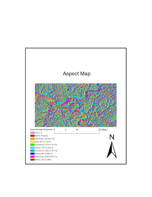
For this week's lab, I chose to map the city of Pittsburgh, Pennsylvania. The hilly city is located at the intersection of three rivers and thus has unique topographical features. For example, the city's steepest slops occur at the edges of the rivers. All of the following maps depict the same region: the area bordered by 40.30303 degrees North and 40.58202 degrees North and by -80.16993 degrees and -79.64664 degrees longitude. The final graphic on this blog is a three-dimensional map of the city's topography. The USGS source data for the maps employed the GCS_North_American_1983 coordinate system.


No comments:
Post a Comment